The interactive site and development map
Focus
Linkcity
Use
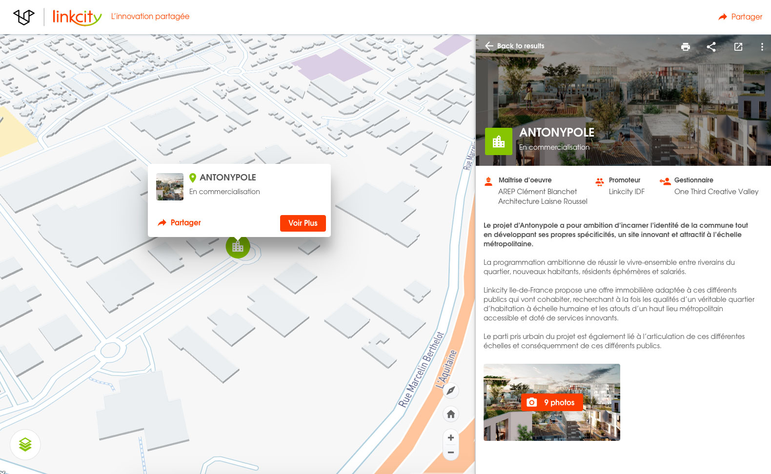
The Mappr project
Linkcity created a Mappr of all its properties in France. The Linkcitymap is a very powerful commercial tool showing the plurality and transversality of the Linkcity projects. Among other things, it offers the ability to create custom maps on the fly, to search for information on a project using the search engine or to print project datasheets.
Contextualise your offers
Generate interest by highlighting the quality of your local developments.
Offer improved visibility to your audience: employees, prospective customers, clients, partners and institutions.
Add immersive media: images, virtual tours, video clips, interviews, 3D, 360°, VR models etc.
They serve Mappr: